Utility locating and mapping refers to the processes used to identify and document the location of underground utilities, such as water, gas, electricity, telecommunications, and sewer lines. This is crucial for a variety of reasons, including safety, compliance with regulations, and preventing damage during construction or excavation activities.
Utility locating and mapping refers to the processes used to identify and document the location of underground utilities, such as water, gas, electricity, telecommunications, and sewer lines. This is crucial for a variety of reasons, including safety, compliance with regulations, and preventing damage during construction or excavation activities.
Utility locating and mapping enhances safety, preventing accidents and injuries by ensuring that workers are aware of underground utilities. It is also cost-efficient, reducing the risk of damaging utilities, which can lead to costly repairs and project delays. It can also assist in regulatory compliance, as many regions require utility locating before any digging or construction to comply with local laws and regulations. Utility locating and mapping are essential practices in construction, civil engineering, and urban planning to ensure safe and efficient project execution.
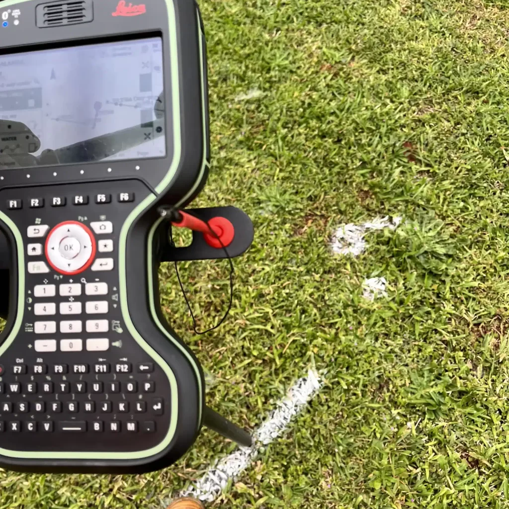
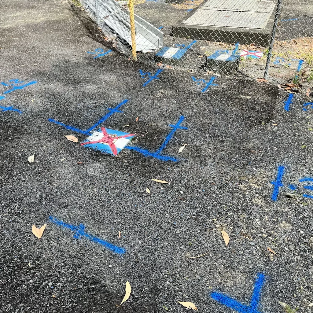
Utility Locating:
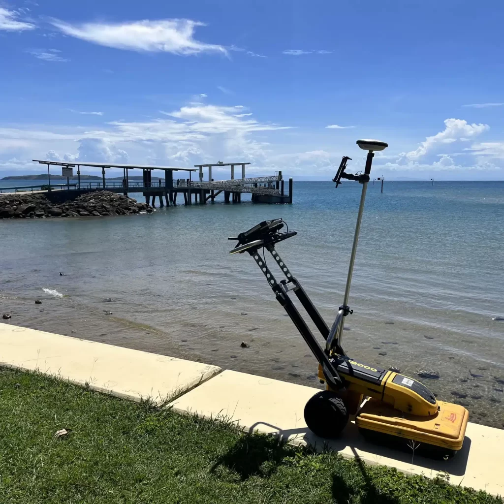
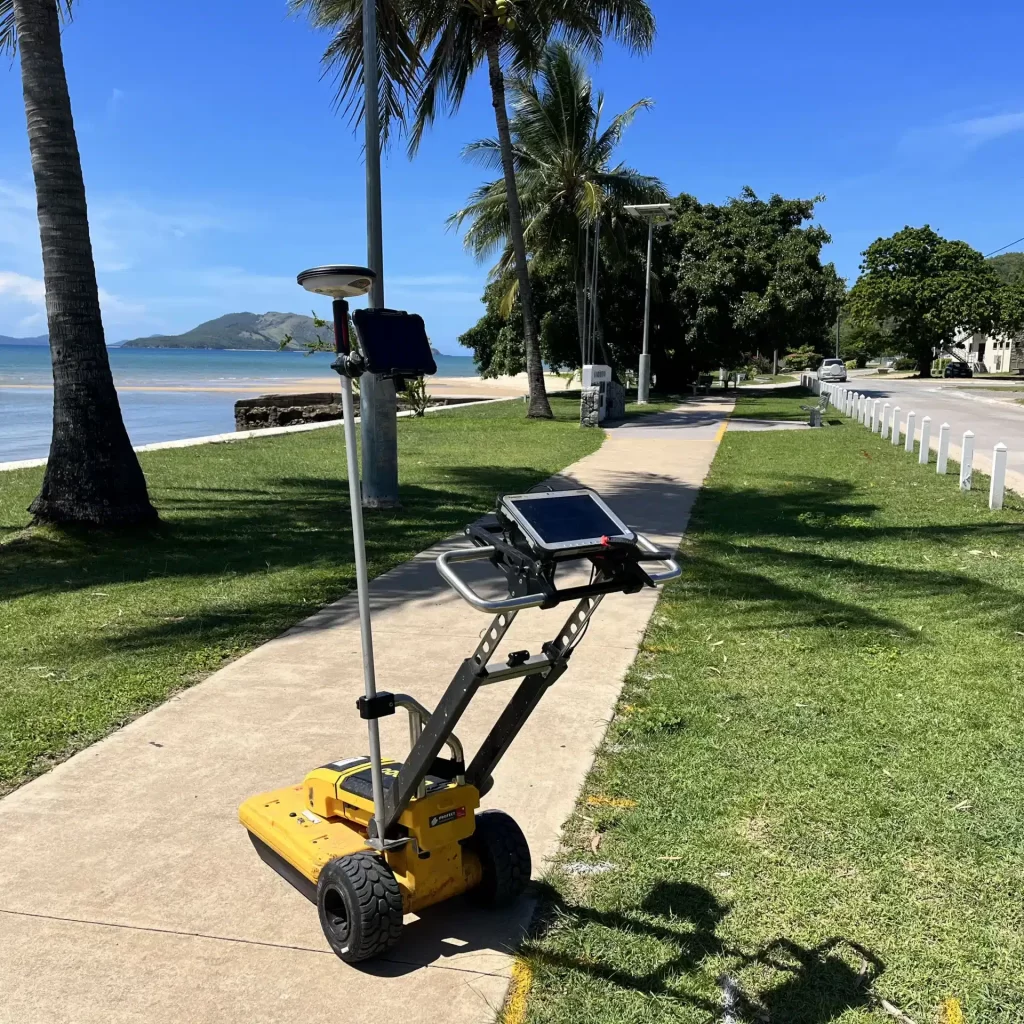
Mapping: