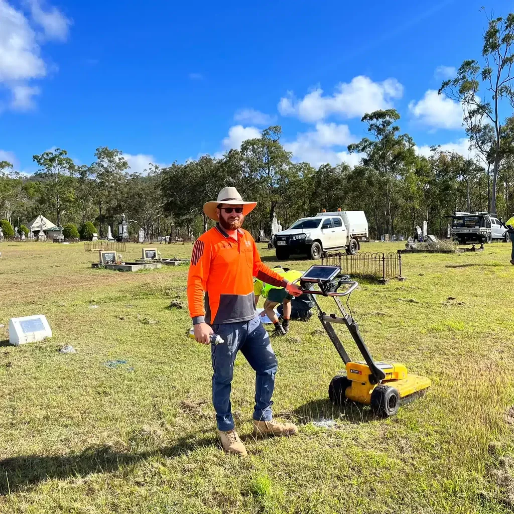
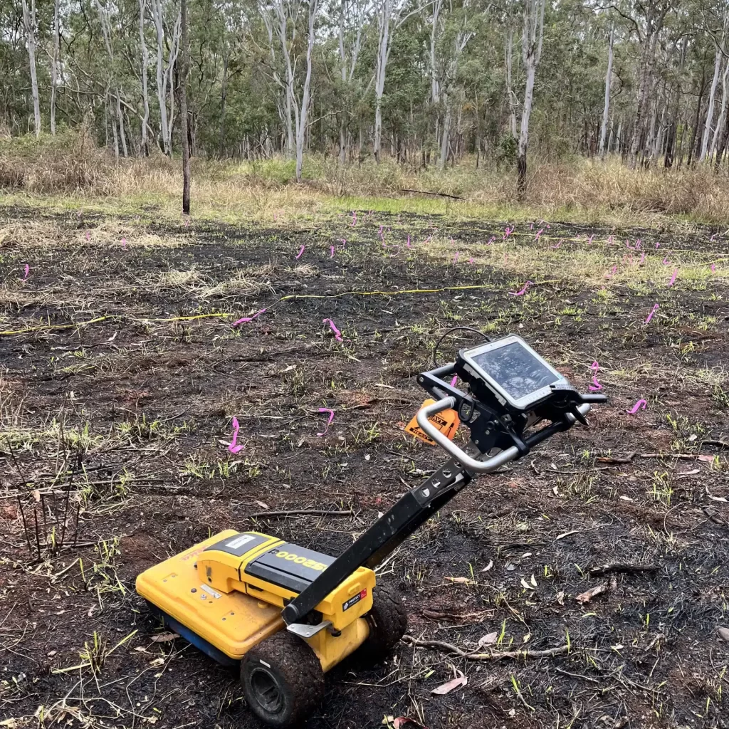
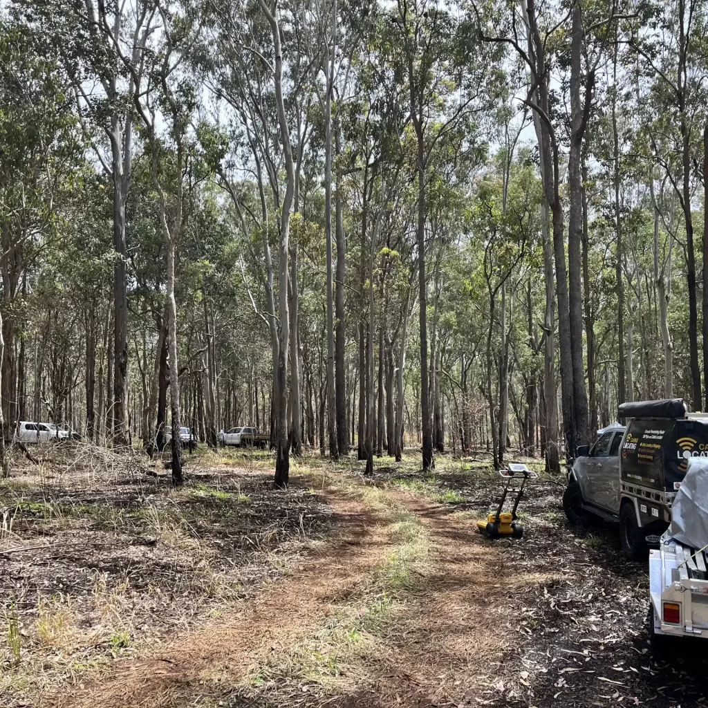
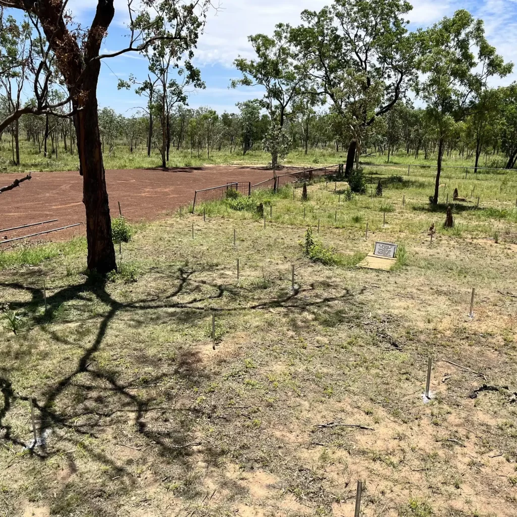
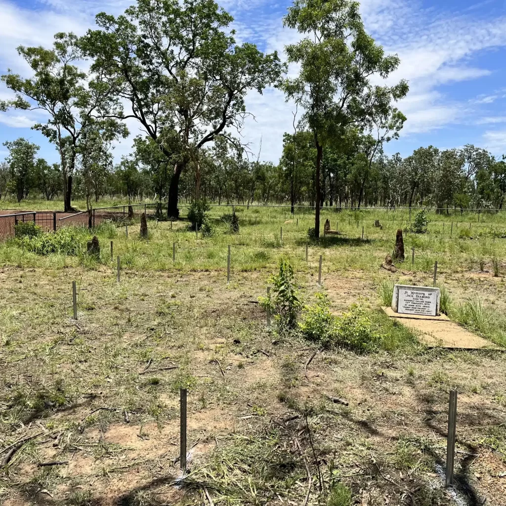
Grave mapping using ground-penetrating radar (GPR) allows for locating and studying burial sites without disturbing the ground. GPR uses radar pulses to image the subsurface. It sends high-frequency radio waves into the ground, which reflect off different materials based on their dielectric properties.
GPR is often used alongside other methods for comprehensive site analysis, such as ground surveys and historical research. The effectiveness of GPR can be influenced by soil type, moisture content, and the presence of vegetation.
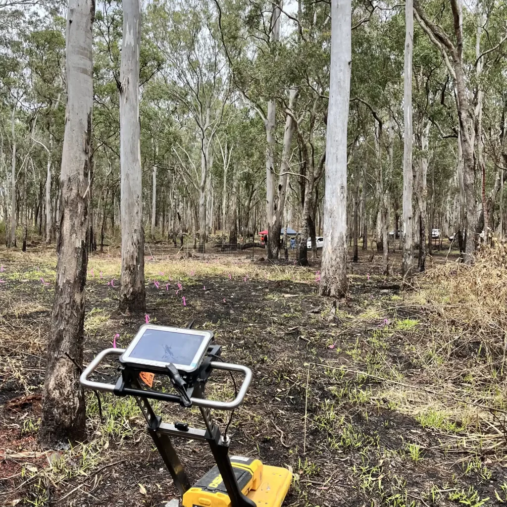
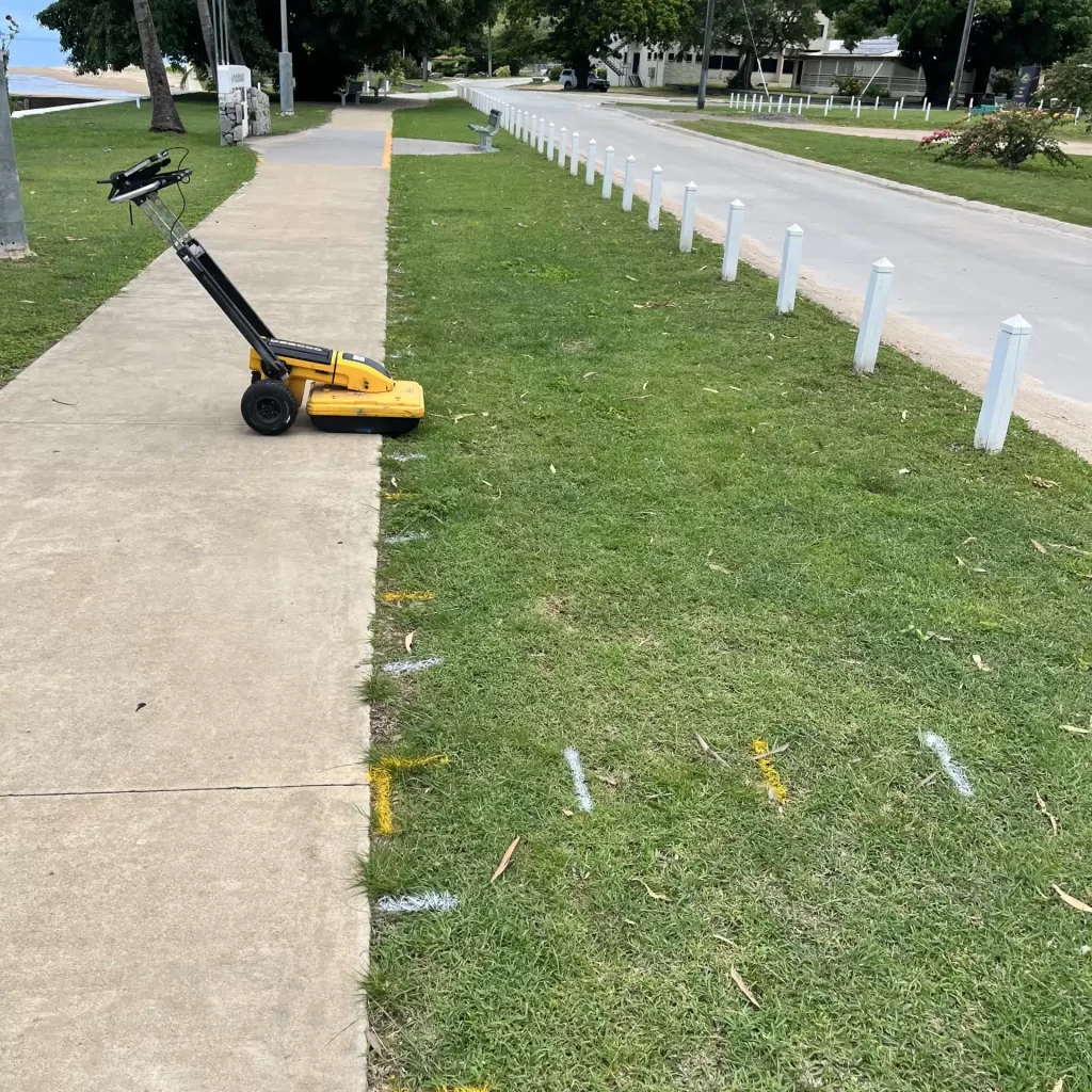
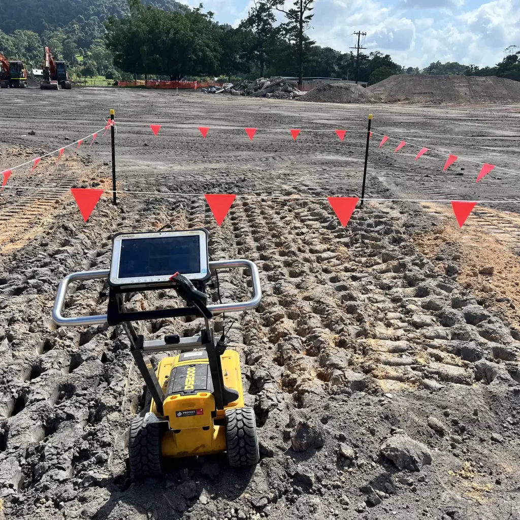